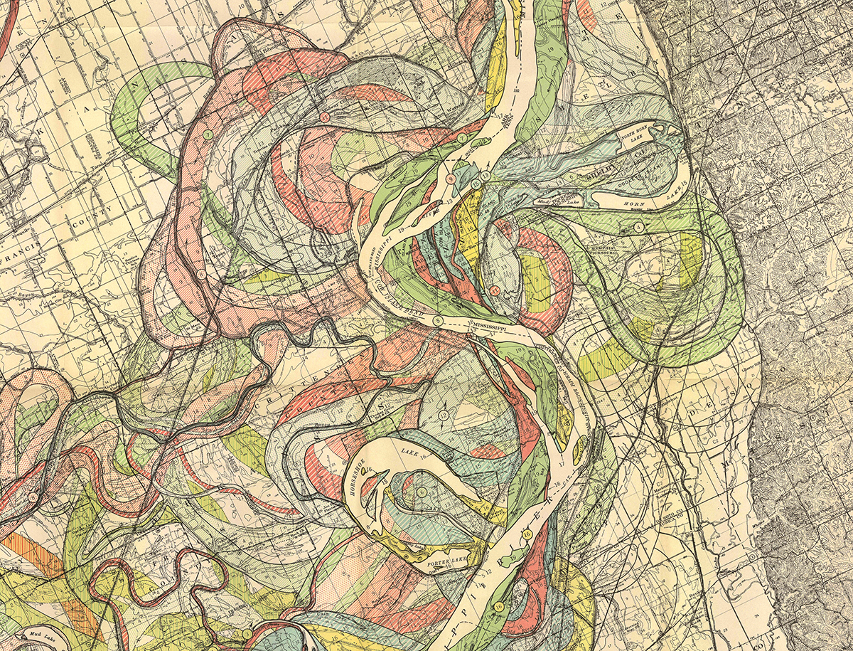
Came across these beautiful 1940s maps by Harold Fisk illustrating the changing course of the Mississippi over time.
The full set of reference plates can be downloaded in high res at http://lmvmapping.erdc.usace.army.mil/


Came across these beautiful 1940s maps by Harold Fisk illustrating the changing course of the Mississippi over time.
The full set of reference plates can be downloaded in high res at http://lmvmapping.erdc.usace.army.mil/
These are gorgeous.

Leave a comment